How rare was the deadly March tornado in Southwest Michigan
Since 2000, there have only been three EF3 or stronger tornadoes across all of Michigan.
By Ryan Marando
WHIO 7 NOW

Since 2000, there have only been three EF3 or stronger tornadoes across all of Michigan.
A cold front is bringing the chance for storms or even an isolated severe storm Saturday.
A flood watch means the conditions are favorable for the rivers, creeks, streams and roads to flood by Wednesday afternoon.
Even with the cold and snowy winter, this year is still running below average for precipitation to March 2, but too much rain is on the way too quickly.
Friday and Saturday have been spectacular with sunshine and 50s, but a cold front drops temperatures to start March.
We’ve been using the Gregorian calendar since 1582, here’s how it keeps our seasons and calendar on track.
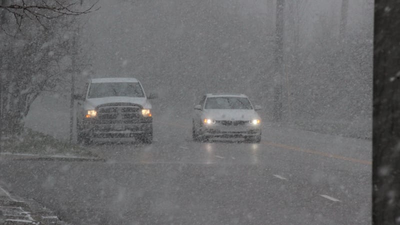
Spring officially beings in less than a month; however, snow is still very possible heading into March. Here’s how the season has been so far with our snowfall totals.
A blast of spring air is bringing the warmest air so far this year and a chance of spring-like severe storms. Here’s what we know now.
Wednesday is looking to be the warmest day so far this year and may either tie or approach record temperatures!
I’m digging through some of the long range data, and it shows a promising trend.