
DAYTON — We have a wind out of the northwest on Monday afternoon, which is pulling down drier and cooler air, but it’s also pulling in a bit of moisture from Lake Michigan.
This means if you live to the northwest of Dayton, you are closer to that moisture fetch and will likely see a few more clouds passing over than if you live farther south and east.
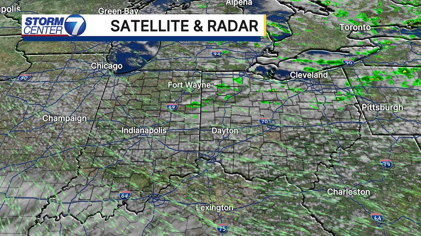
There is even the possibility of a stray shower in some of that flow, but with dry air at the surface, any rain may evaporate before it hits the ground.
[DOWNLOAD: Free WHIO-TV News app for alerts as news breaks]
TRENDING STORIES:
- 37-year-old woman dies after FedEx truck ‘flipped over the bridge’ on I-75
- High school football player paralyzed after injury during game in Ohio
- $50K scratch-off lottery ticket bought at area convenience store
The clouds will clear overnight tonight, and the clear skies, combined with low humidity, will promote very effective radiational cooling. This means temperatures are going to tumble after the sun sets tonight.

Waking up for your Tuesday morning, many of us will be in the 40s and right around 50 degrees in Dayton, running around 15 degrees below average! Most of your Tuesday will be in the 60s with a high near 71, also running about 13 degrees below average.

[SIGN UP: WHIO-TV Daily Headlines Newsletter]
©2025 Cox Media Group


