
DAYTON — Good Saturday evening, everyone! Weather Specialist Nick Dunn here to break down the forecast as the weekend has started off nice for us.
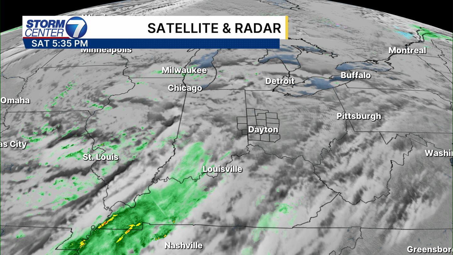
A weak system crossing into the Ohio Valley will try to bring a couple showers to the area overnight, but our air mass is pretty dry. I would not expect anything more than a spotty shower or two, mainly south of US-36, if any rain falls.

Otherwise, we find an increase in clouds and lows in the upper 30s to near 40 in most spots. Those in the far north (Celina to Bellefontaine) could drop a bit lower in temperature due to cloud cover arriving a bit later.
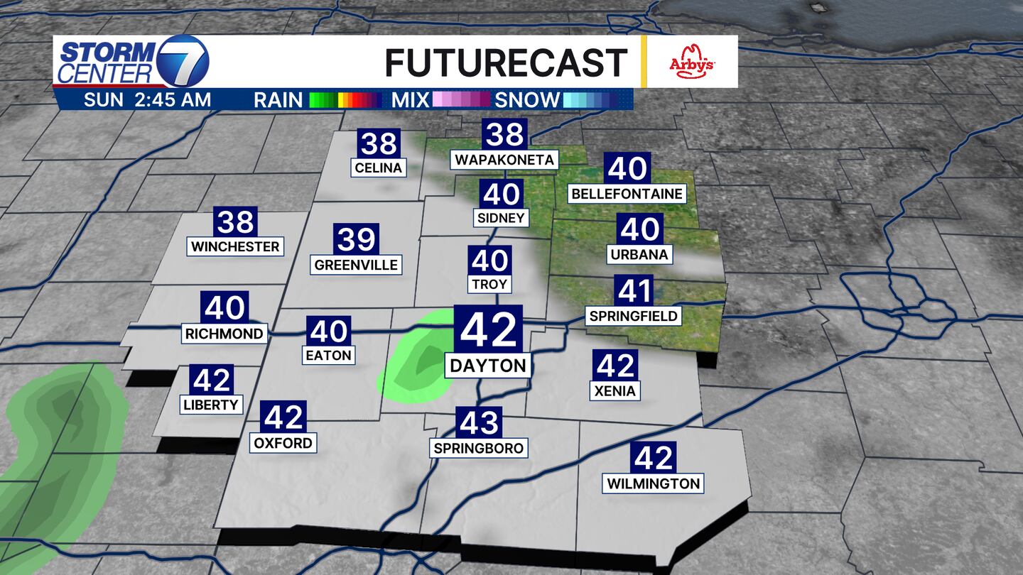
As you see, futurecast is not too excited about the rain chance. With it being at just 20% this tells you we expect rain coverage to be pretty isolated and the vast majority stay dry!
[DOWNLOAD: Free Storm Center 7 Weather app for alerts as news breaks]

Don’t forget to change your clocks tonight! Our sunrise and sunset times will move back one hour starting tomorrow. Additionally, check and change batteries in those weather radios, smoke alarms, and carbon monoxide alarms!
[WATCH Storm Center 7 Weather on the following devices]
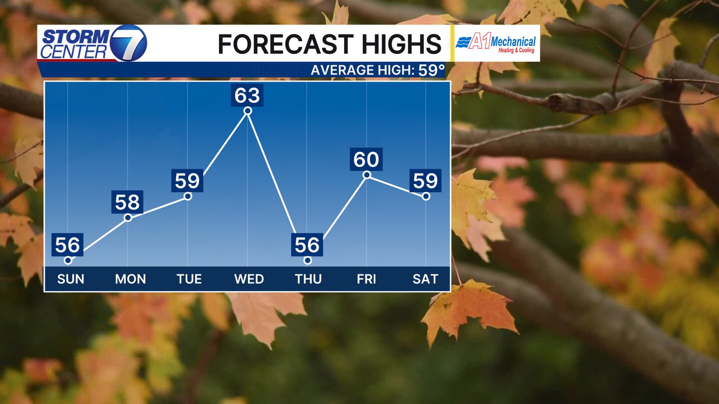
A bit of a moderating trend in temperatures is likely for next week with highs pushing 60 by Election Day and the lower to middle 60s by Wednesday. A system crossing the Great Lakes will make things breezy by Wednesday but there is not much moisture to work with so we will stay dry.
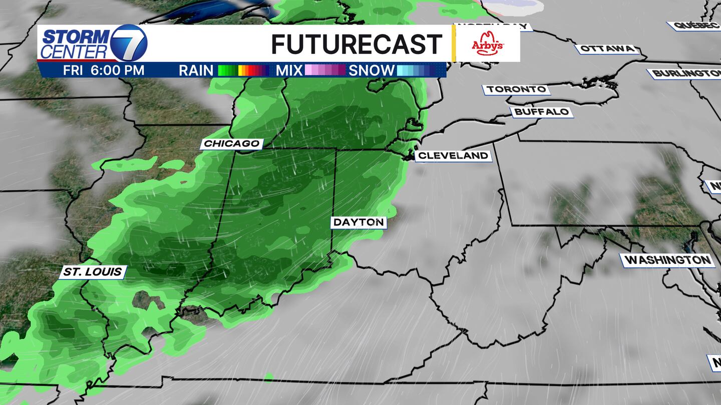
It is still several days out, but the next impactful system looks to arrive late Friday with rain showers and breezy conditions once again. The timing of this system will need worked out in the coming days, but this is the next item of interest we will focus on for rain chances. Have a great night!


