
DAYTON — Good Sunday evening, everyone! I hope you enjoyed the sunshine we had today. It definitely made a difference compared to yesterday. Weather Specialist Nick Dunn checking in with you to bring you the latest forecast for the upcoming week.
I think it seems safe to say that those very warm days are behind us now after this stretch of cool days recently. Looking ahead this week, we will likely not see 60° again after tomorrow for at least a week.

For tonight, expect a generally clear sky as we cool off quickly after sunset. Lows will bottom out in the upper 30s, but a few middle 30s are possible in rural areas. A jacket will be a good idea in the morning for the kids at the bus stop. No threat for rain exists tonight or on Monday!
[DOWNLOAD: Free Storm Center 7 Weather app for alerts as news breaks]
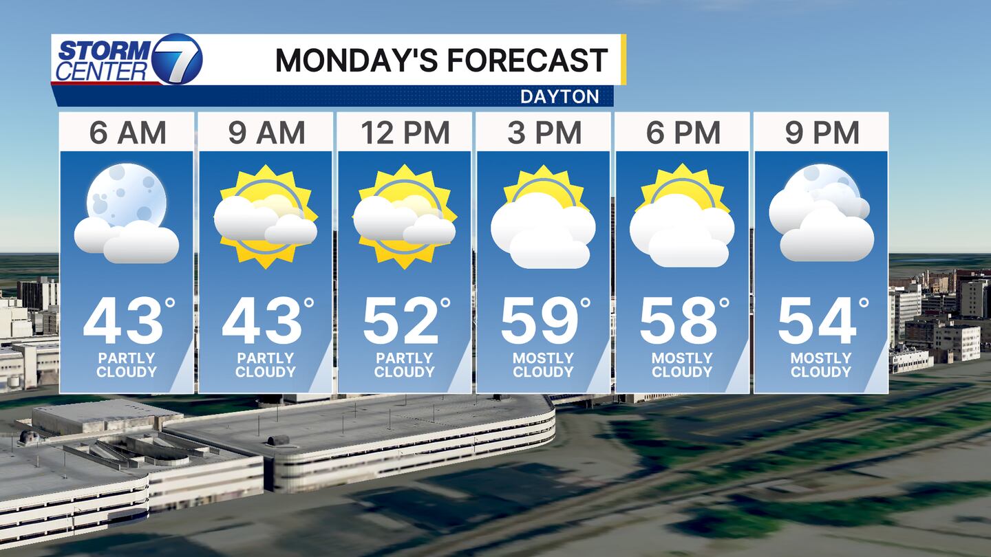
Monday calls for another pleasant day, but I do foresee some high clouds continuing to drift northward. Filtered sunshine will be the best way to describe the afternoon and evening. Highs will be in the upper 50s and lower 60s. Not too bad to kick off the week, however, things will change by midweek.
[WATCH Storm Center 7 Weather on the following devices]
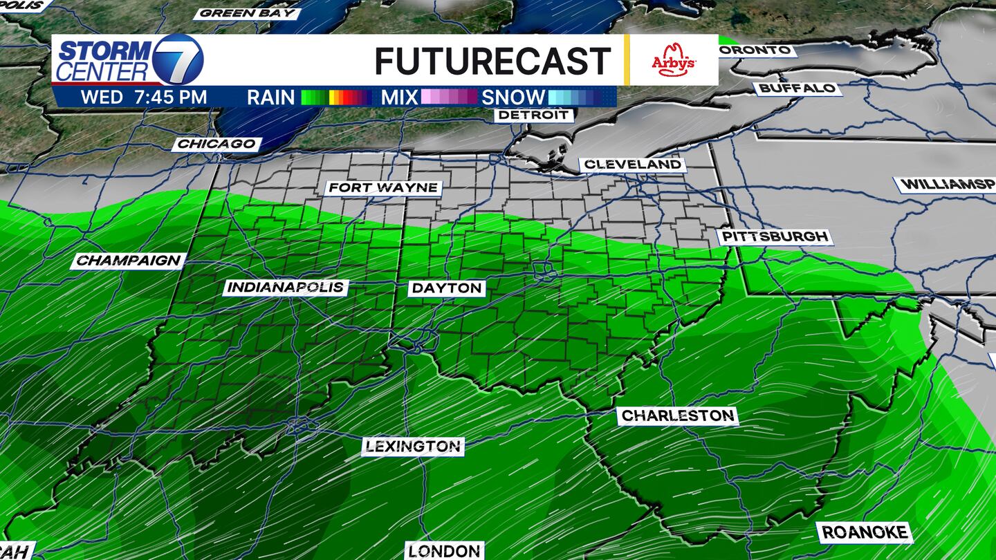
While model data continues to show some question marks with how the rain chances evolve midweek, I continue to lean towards a rainy solution for Wednesday into Thursday. There are some upper air features we will have to watch and see how they come together locally. If the low tracks further north, we can expect more widespread rain and heavier totals. If the low tracks further south, rain will trend lighter.
I know many have trick or treat plans this week. I do think Wednesday night and Thursday night look rather wet so keep that in mind! Friday night looks drier, but neither night between Wednesday and Friday looks very warm. In fact, Thursday’s highs may struggle to hit 50 degrees!

This is an early look at rainfall totals. I like to say “Early Look” to showcase that adjustments are possible, but this is where I think realistic rainfall totals stand right now. This also shows how a shift north or south would bring lighter or heavier totals our way.
We will stay on top of the rain chances this week, along with Hurricane Melissa as it heads for Jamaica, Cuba, and the Bahamas. Be sure to tune in through the week for more!


