
DAYTON — An area of low pressure will set up across the central part of the country over the next two days. This low will mature and slide eastward. The placement of the low will determine the amount of rain we receive here in the Miami Valley.
[DOWNLOAD: Free Storm Center 7 Weather app for alerts as news breaks]
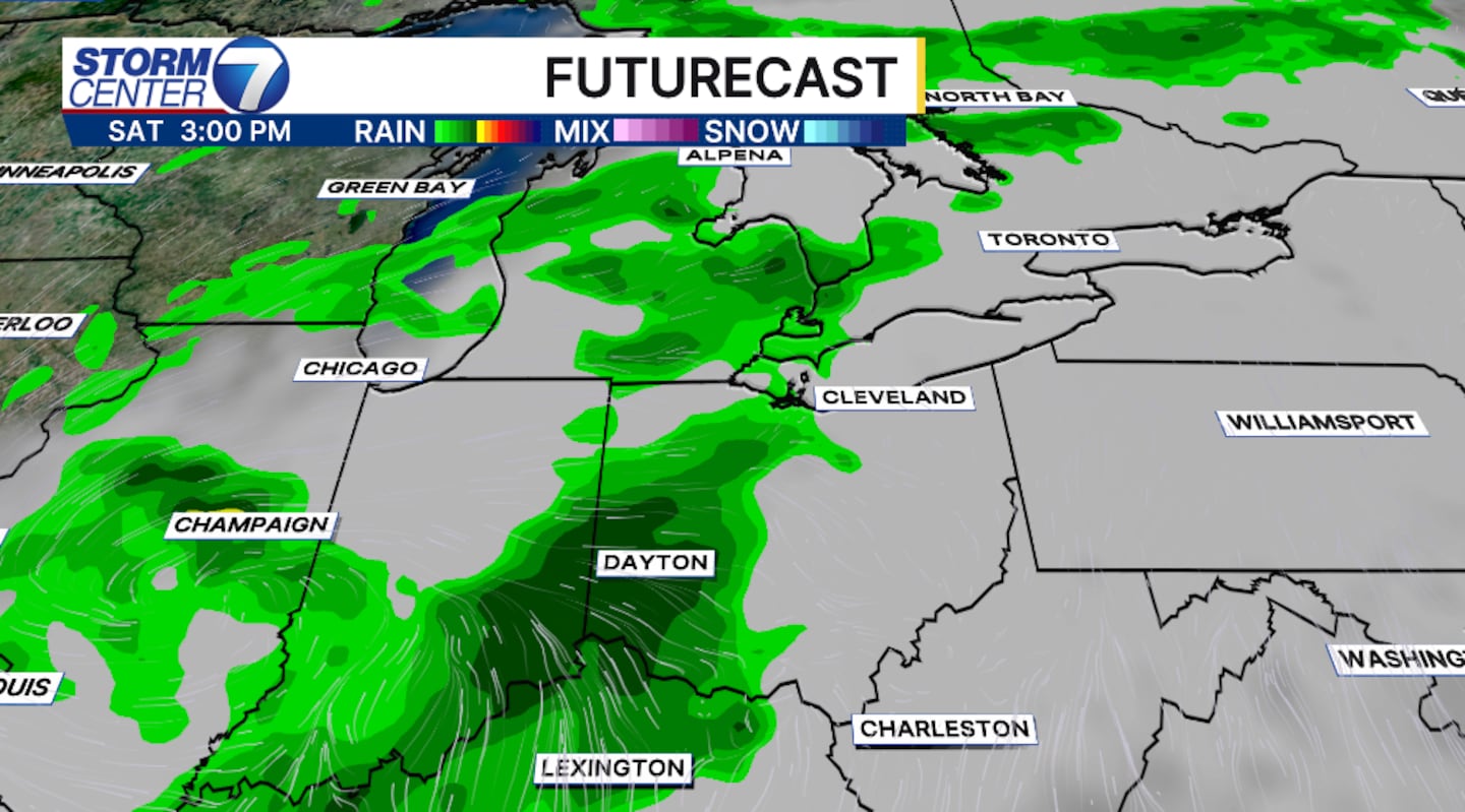
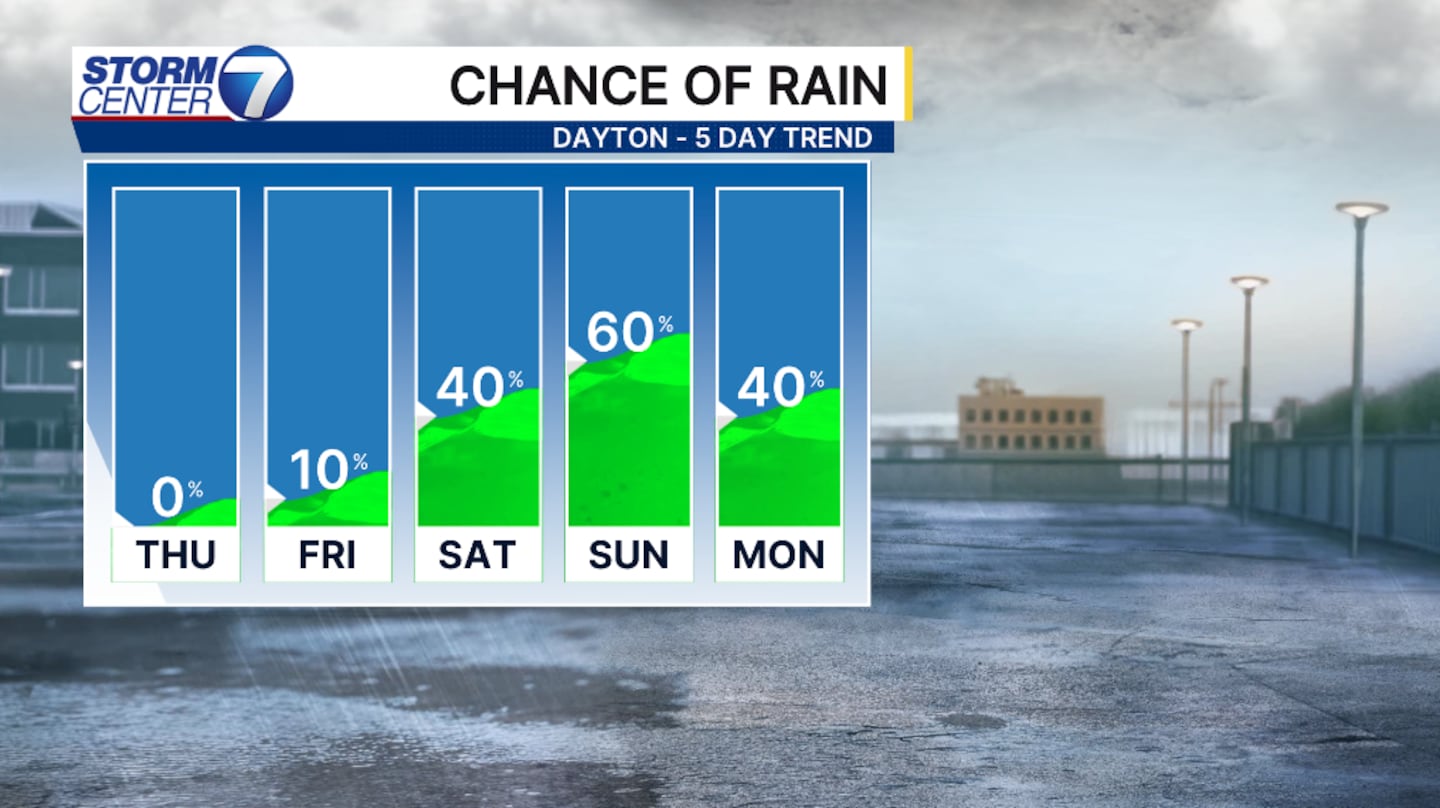
Currently, rain chances are low Friday afternoon and evening. Isoalted showers are possible, but not likely. Saturday and Sunday will be the best chance for rain and storms. Saturday will bring a scattered chance late afternoon and evening, lingering into the overnight hours.
Sunday’s rain chance will be more likely late afternoon and evening and more so than Saturday.
[WATCH Storm Center 7 Weather on the following devices]
Rain and storm chances may linger into next week. It’s important to note that we are days out and timing and amounts will change.
Don’t cancel weekend plans, just pay attention to Live Doppler 7.
©2026 Cox Media Group


