DAYTON, OH — Happy Friday, Miami Valley! Way above normal temperatures were felt again across the region with high temperatures in the low to mid 80s. With an upper level ridge of high pressure parked over us through the weekend, I expect that theme to continue. Next week, a cold front sweeps through to shake things up.

[DOWNLOAD: Free Storm Center 7 Weather app for alerts as news breaks]
Both Saturday and Sunday will be quite similar. Sunny skies both days. We will be cool in the morning, hot during the afternoon with highs in the middle 80s.

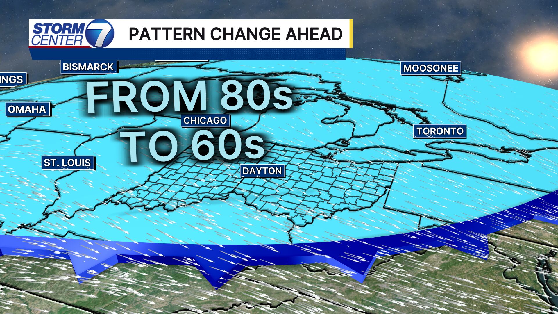
Come Monday, moisture starts to return ahead of the next cold front. This could lead to a few afternoon thunderstorms popping up on Monday. Numerous showers and isolated thunderstorms are likely Tuesday as the front passes by. Cooler air spills in starting Wednesday.
[WATCH Storm Center 7 Weather on the following devices]
The temperatures to end next week will be the coolest we’ve felt so far this fall. We should see three straight days of highs in the 60s. Lows will dip into the lower 40s on Thursday morning.